|
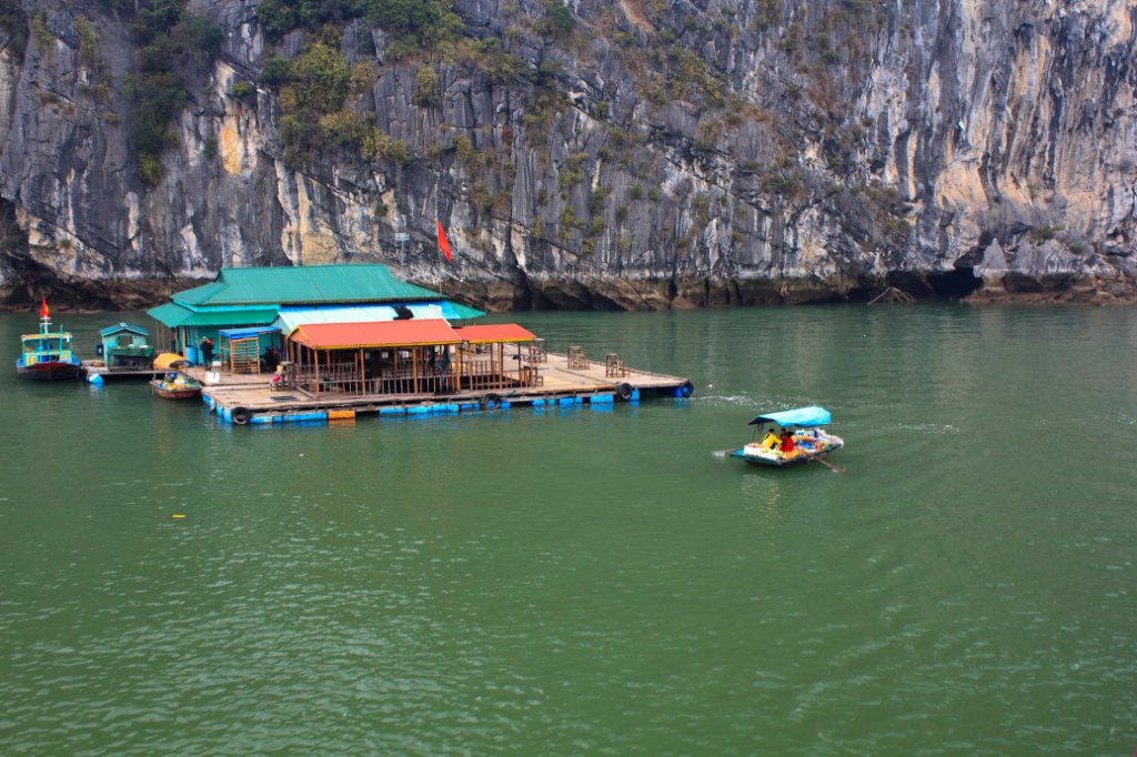 |
| Floating fishing village | |
| Latitude: N 20°54'14,71" | Longitude: E 107°0'53,23" | Altitude: 7 metres | Location: Dau Go Island | City: Ha Long | State/Province: Quang Ninh | Country: Vietnam | Copyright: Ron Harkink | See map | |
| Total images: 16 | Help | |
|
|
|
| Floating fishing village | |
| Latitude: N 20°54'14,71" | Longitude: E 107°0'53,23" | Altitude: 7 metres | Location: Dau Go Island | City: Ha Long | State/Province: Quang Ninh | Country: Vietnam | Copyright: Ron Harkink | See map | |
| Total images: 16 | Help | |